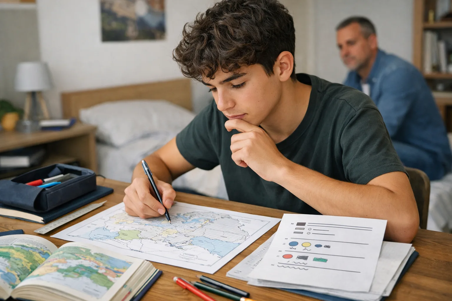
Your child spends time on maps, sketch maps and diagrams. The exercise book looks serious, sometimes even beautiful, yet the geography marks do not match the effort. That gap is common, and it does not necessarily mean your child “has a poor memory” or “isn’t a visual learner”.
In geography, a map or diagram is only useful if it helps them think about space: locate, sort, compare, connect and explain. When the page becomes mainly something to copy or colour in neatly, it can create the appearance of work without producing the understanding the subject actually requires.
The key point is simple: before revising, you need to know what kind of task is being set. You do not prepare in the same way for locational knowledge on a blank outline map, a map-analysis question, a summary sketch map or an explanatory diagram.
What geography really asks of a student
The real difficulty is not always that your child “can’t remember the map”. Often, they are mixing up several different tasks.
In geography, a map-based task can demand at least four things:
- locating places, borders, routes and environments;
- reading a spatial pattern: concentrations, contrasts, centres, peripheries and links;
- connecting space to a process: flows, urbanisation, globalisation, risk or inequality;
- communicating a clear idea through a sketch map, a diagram or a short commentary.
In other words, the map is not just a store of information. It is a way of organising thought. As students move through secondary school, sixth form and the first years of higher education, they are increasingly expected not just to recognise a document, but to use it to express a sound idea of their own.
To help your child, the right diagnosis is to identify where the blockage really sits:
- shaky locational knowledge: they cannot place the basic features on a blank outline map;
- weak map reading: they can see the symbols, but cannot say what pattern they show;
- poor selection: they put everything into the sketch map because they cannot rank what matters;
- unstable explanation: they follow it in class, but cannot reconstruct it alone later.
These problems do not improve with the same method. That is where a great deal of time gets lost.
The belief that wastes time: “if it’s visual, looking at it again is enough”
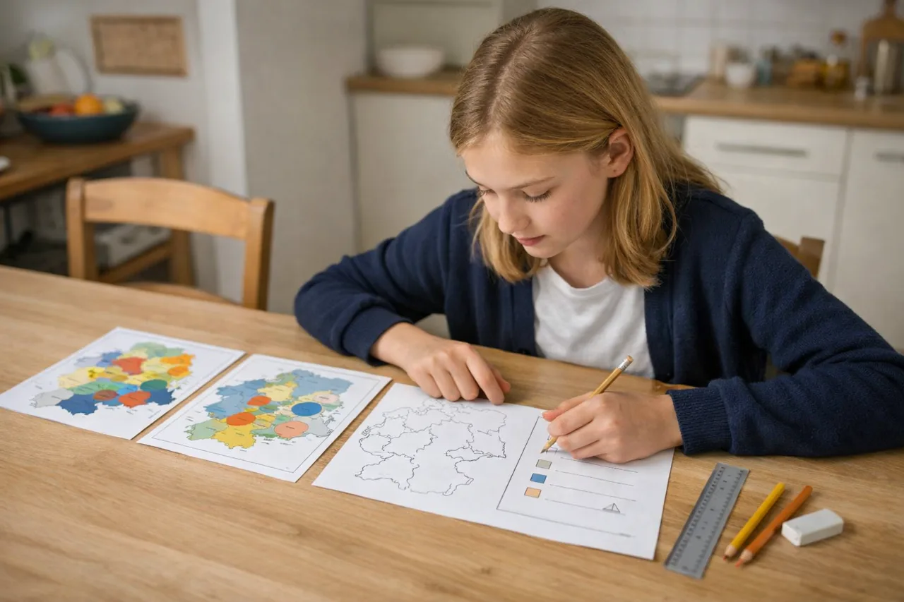
The classic trap is to assume that a subject full of maps and diagrams is mainly learned by looking at them often. The student rereads the key, colours neatly, copies out a sketch map, highlights the headings, and gets a feeling of familiarity. But familiarity is not yet mastery.
In a test, they usually have to do something else: retrieve a place name without the model, comment on a distribution, choose the right symbols, explain a contrast, or move from a document to a more general idea. All of that requires active production, not just visual recognition.
So a “well-made” map is not useless. Neatness, legibility and colour coding do help. But they only help if they serve an already structured line of thought. When appearance becomes the goal, the map or diagram stops being a tool and turns into decoration.
Three signs often show that a student is mainly working on appearance:
- they redraw the key exactly as given, without grouping the ideas;
- they know the colours on the model, but not the meaning of the main patterns;
- they recognise the page when it is open in front of them, but cannot reproduce it from memory or explain it in a few sentences.
At that point, the answer is not “more maps”. It is a different kind of effort.
The right method depends on the task
The useful question is not “how do you revise geography?” but “what exactly does this task ask me to do?”. Here is a simple way to adapt the work.
| Type of task | What to practise | Common mistake |
|---|---|---|
| Locational knowledge | Place 5 to 10 items on a blank outline map, then check straight away | Reread the textbook without ever testing yourself |
| Map or document analysis | Say what the map shows, at what scale, which contrasts dominate, and which exceptions matter | Describe every detail without a guiding idea |
| Summary sketch map | Start from the chapter question, group the information into 2 or 3 ideas, then choose the symbols and the key | Try to include everything so as to “miss nothing” |
| Explanatory diagram | Simplify, connect, and show a process or sequence | Copy a complex drawing that does not actually explain anything |
The common point is always the same: the map, sketch or diagram should force the student to select and reformulate, not just recognise.
For locational knowledge, use outline maps and short sessions
If the blockage is basic location, 5 to 8 minutes usually works better than one long evening of copying. Place, hide, do it again. Above all, connect each place to an idea: a busy coast, a major port area, a river valley, a dense population basin, an area exposed to risk. An isolated name is hard to retain; a name linked to a role sticks more easily.
For a sketch map or diagram, think before drawing
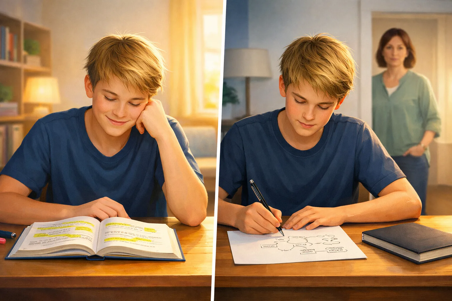
Many students begin with the colours. In most cases, that is the wrong order. For a useful sketch map or diagram, the safest sequence is often this:
- write down the question the sketch or diagram is meant to answer;
- sort the lesson content into two or three main ideas;
- only then choose the symbols, colours and order of the key;
- finish with a one-minute spoken explanation using the support.
This can feel less “artistic”, but it often produces something clearer, lighter and easier to reuse.
When several maps are involved, comparison often helps more than fixing one image in memory
When a topic relies on several maps, the student gains by spotting what changes from one document to the next: the scale, the variable being shown, the hierarchy of places, the exceptions. In geography, understanding often comes from the relationships between documents, not just from memorising one image.
A good analytical sentence is sometimes worth more than an overloaded page: “here the concentration is strong”, “there the network changes scale”, “this area is an exception”. That move from observation to interpretation is where progress usually begins.
How to tell whether your child is really improving
The right indicator is not the number of maps they have redrawn. It is what they can do without the model and with a clear instruction.
Real progress shows when they can:
- put the main places back on a blank outline map fairly quickly;
- explain the logic of a key instead of reciting its order;
- state the main idea of a map in two or three sentences;
- compare two maps or documents and name at least one important contrast;
- build a simpler diagram than the one in class, but a more useful one for answering the question.
You can check this in three minutes without being a specialist. For example, ask:
- What question does this map or diagram help you answer?
- What are the two or three main ideas?
- If the model disappears, what can you still redraw or explain on your own?
By contrast, a few signals can give a false impression of progress: a very neat exercise book that remains heavily dependent on the model, a long key with no hierarchy, or an oral answer that stops as soon as the page is covered.
The mark does not always improve immediately. But when the student starts faster, hesitates less in front of a blank outline map, and expresses what they notice more clearly, progress is usually under way.
What parents can do without becoming the geography teacher
You do not need to correct a sketch map as a teacher would. But you can still help your child work in the right direction.
- Bring the task back to its real question. Before they start, ask: “What exactly are you meant to be able to do?”
- Prefer a short spoken explanation to a prettier final page. Two minutes of clear explanation often matters more than another quarter of an hour of colouring.
- Make room for active recall. A blank outline map, a hidden key, a comparison between two documents, or a short explanation from memory.
- Break revision into several returns. In geography, repeated short returns are often more effective than one large copying session at the end of the topic.
- Look for the right kind of help if the blockage persists. If your child understands the lesson but still cannot select or organise, they may need methodological support. If they do not understand the vocabulary of the lesson, the problem lies further upstream.
The real goal is not a prettier map. It is a student who can use a map or diagram to think: to locate, compare, rank and explain.
In geography, maps and diagrams should help students think, not just decorate the page. That is the simplest test of whether the study method is actually working.
Keep reading
Related reading
Rereading is not revision: what parents should know
Rereading a chapter often creates a feeling of mastery without checking what a student can really retrieve. Here is the mechanism behind that illusion, the most common mistake, and a simple two-week method to try at home.
Why looking at a page again can feel reassuring without proving real recall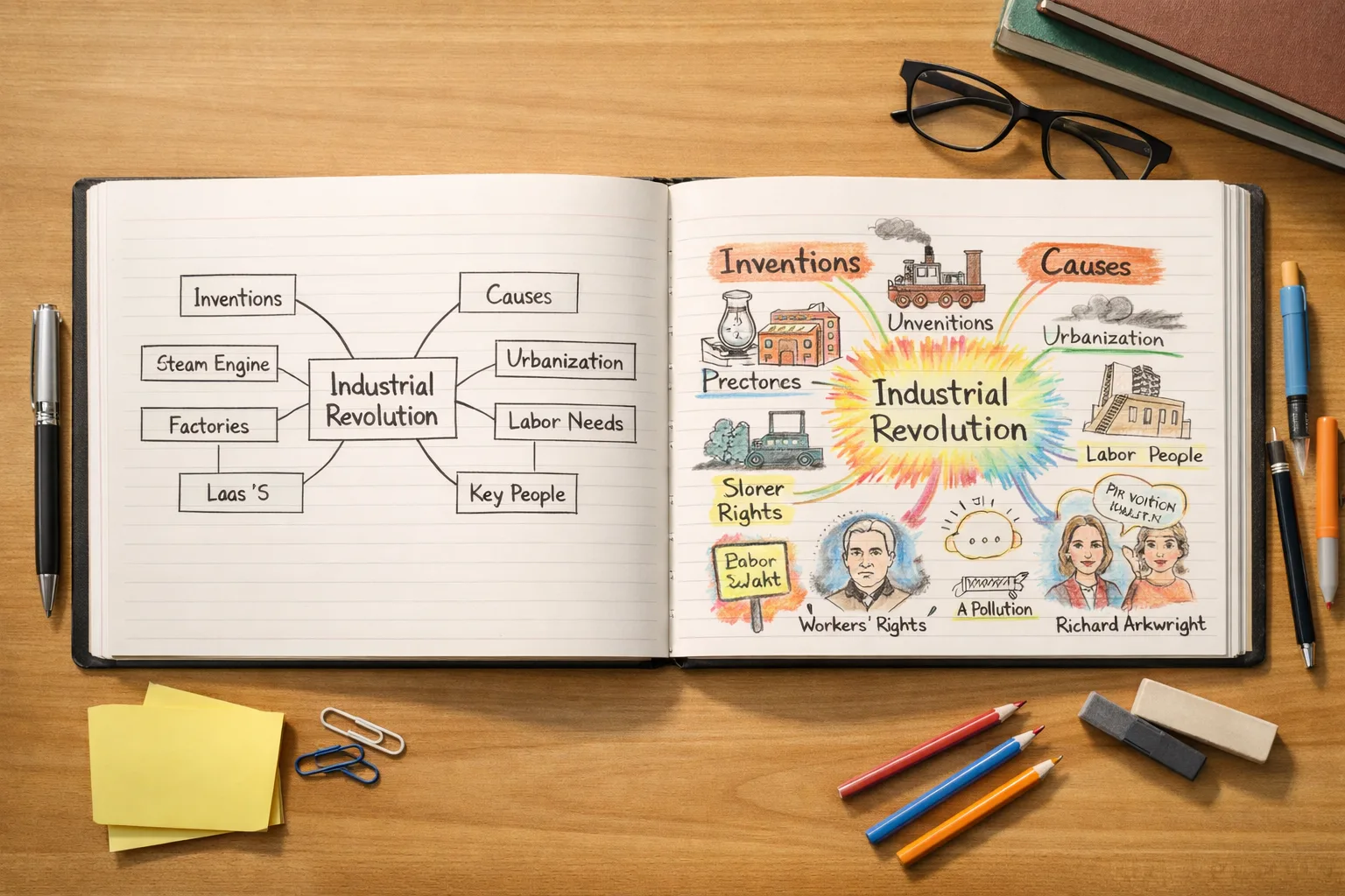
Mind maps: powerful tool or visual gimmick depending on how they’re used
A mind map can genuinely help a student understand and revise — but only if it forces them to organise, connect and recall ideas, not just rewrite the lesson in colour.
When a visual tool helps organise ideas — and when it becomes a gimmick
Taking notes: listen, select, rephrase — instead of copying everything
A full notebook is not always a useful one. Here is how to help a student take notes that actually support understanding, memory, and revision.
How to listen, select and rephrase instead of copying everything